- All
- Topography and Civil Engineering
- Engineering and Town Planning
- Mining and Quarries
- Precision farming and Environment
- G.I.S. town and country planning
- Power lines

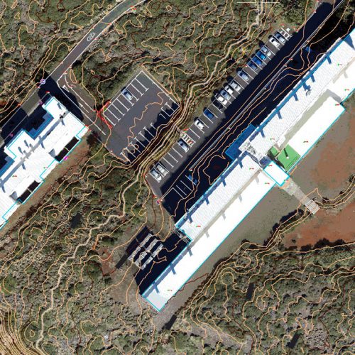
Photogrammetric flight with unmanned aerial vehicle – Roque de los Muchachos Observatory
Topography and Civil Engineering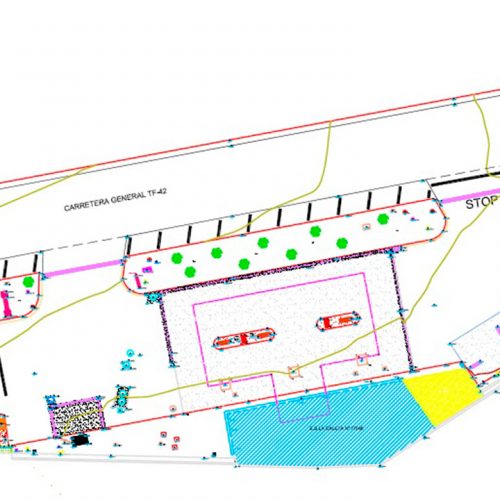
Precision and detailed topographical surveys – CEPSA service stations
Engineering and Town Planning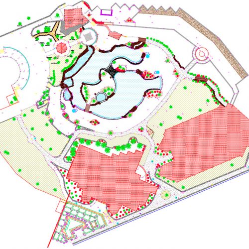
Precision topographic survey – Hotel Jardines de Nivaria
Engineering and Town Planning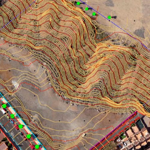
Topographical survey – HOTEL IN PLAYA PARAÍSO
Engineering and Town Planning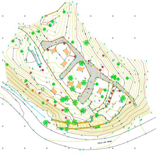
Topographic survey of the ethnographic park – Pino las Jabas Ethnographic Park
Engineering and Town Planning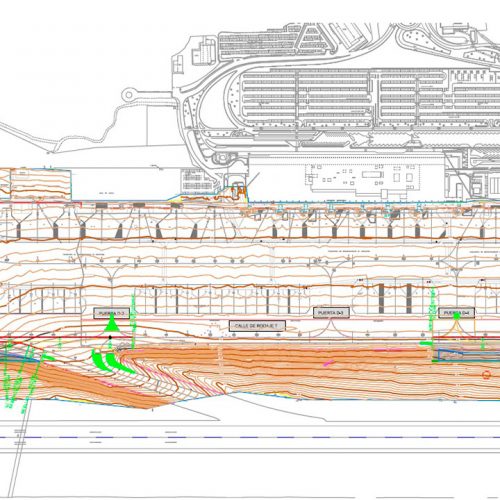
Topographical survey of runways – Reina Sofía Airport
Engineering and Town Planning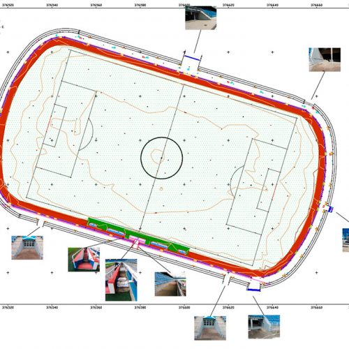
Topographical survey – Football Stadium HELIODORO RODRIGUEZ LÓPEZ
Engineering and Town Planning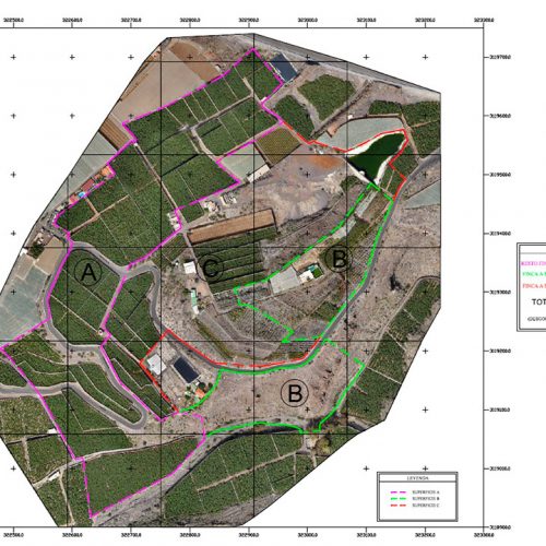
Planimetric survey of the Finca Barrameda property
Engineering and Town Planning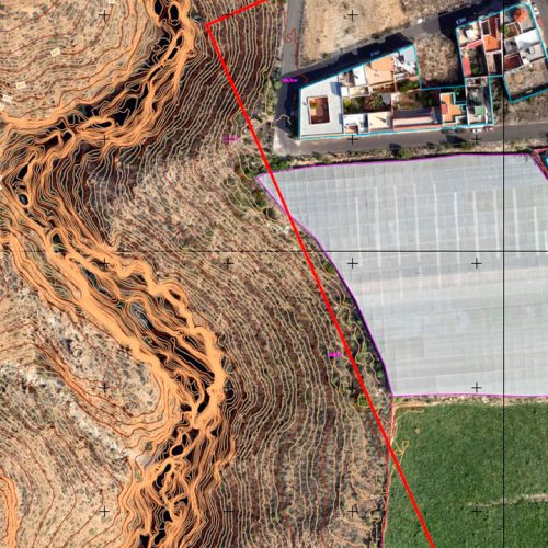
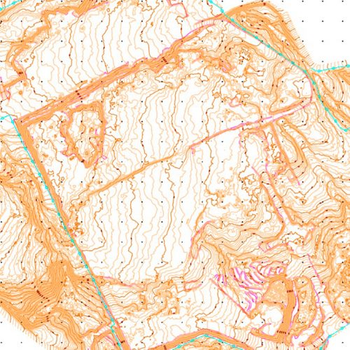
Topographic survey by aerial photogrammetry – CANTERA EL RÍO
Mining and Quarries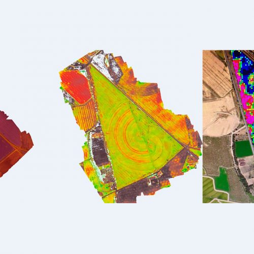
Photogrammetric flight with near infrared (NIR) camera – Corn Crop, Huesca
Precision farming and Environment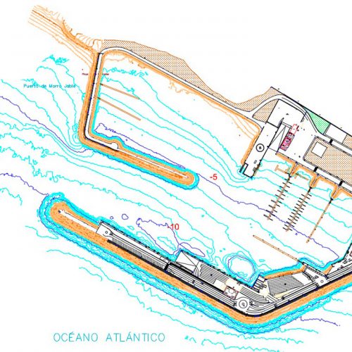
Topobatimetric study and underwater inspection – Port of Morro Jable
G.I.S. town and country planning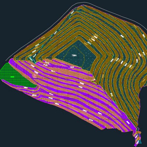
Topographic survey – Island Solid Waste Plan (P.I.R.S)
G.I.S. town and country planning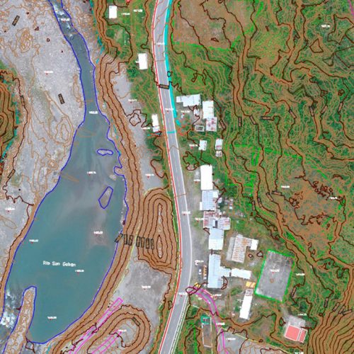
Topographic field support, review and drawing up of final plans – SAN GABÁN III Hydroelectric Power Station – PERÚ
G.I.S. town and country planning