Photogrammetric flight with unmanned aerial vehicle – Roque de los Muchachos Observatory
Title
Roque de los Muchachos Observatory Precision photogrammetric flight. Garafía, La Palma
Company
Regional Geodata air, S.A
Category
Topography and Civil EngineeringAbout This Project
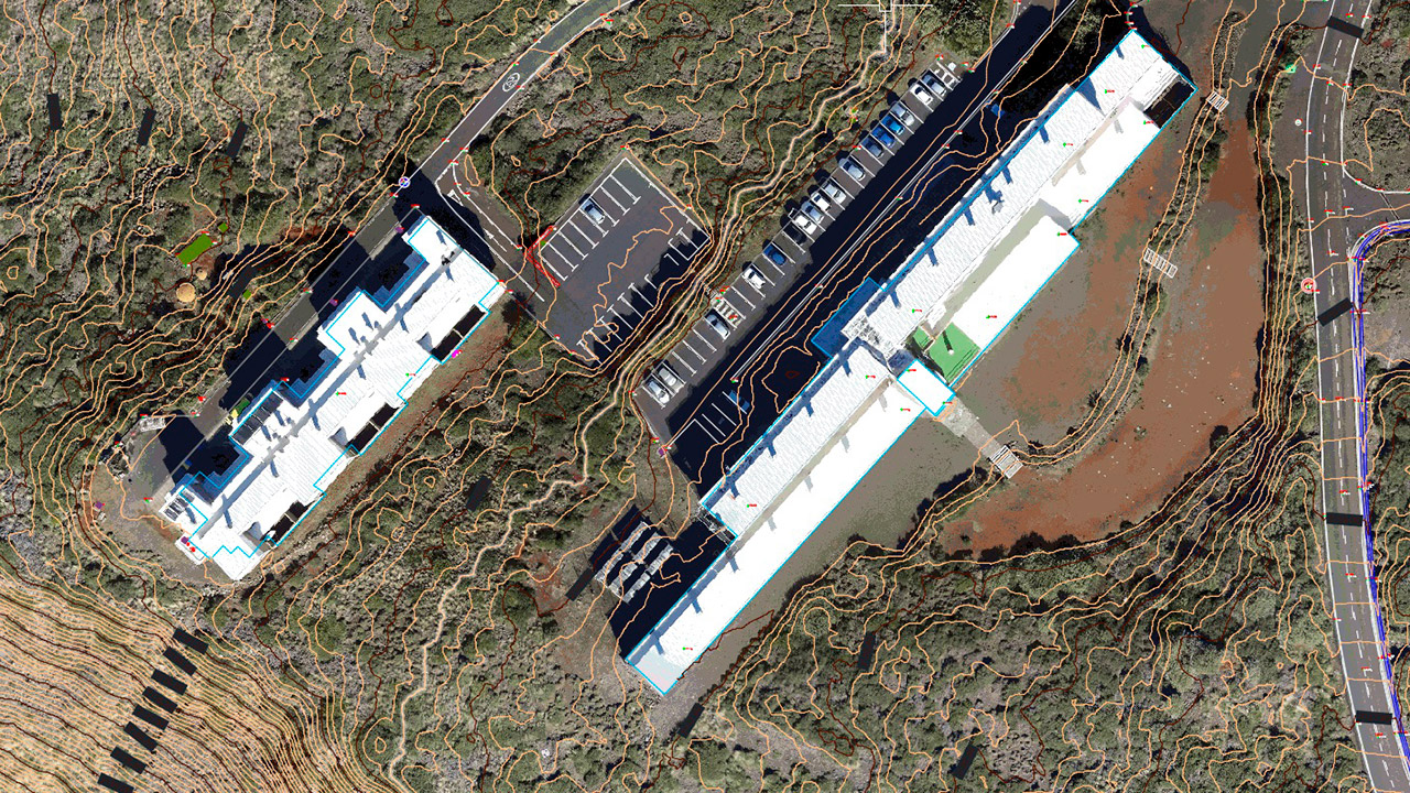
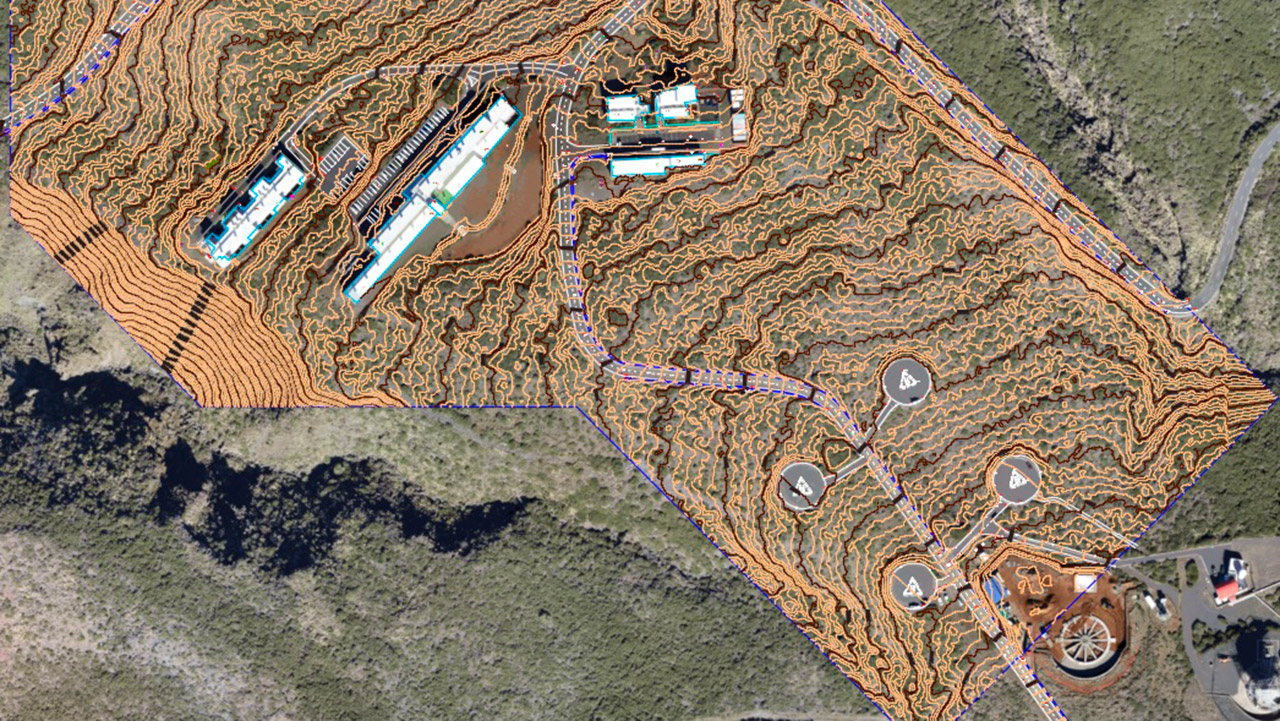
Photogrammetric flight with unmanned aerial vehicle to obtain a digital terrain model (DTM) and orthophoto with a GSD (graphical system design) of 3-4 cm/pixel. Topographic survey on a 1/500 scale. Approximate surface area of 70 hectares.