Mapping and Topography Services
At GEODRON we are able to obtain maximum performance by applying state-of-the-art technology in the different areas which our services comprise, saving time and money for the customer.
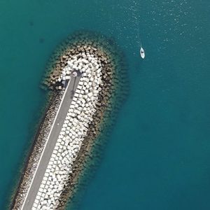
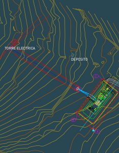
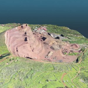
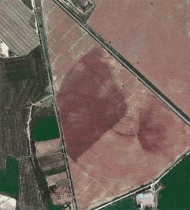
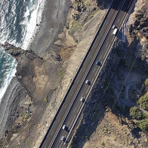
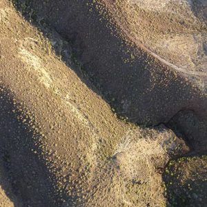
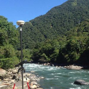
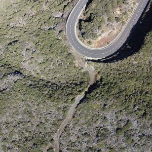
In each of these industries, aerial images can be used to perform a variety of tasks and to generate a wide range of results. The GEODRON unmanned aerial vehicle (UAV) aerial imaging acquisition solutions are being used to perform topographic and boundary surveys, route planning and work sites, progress monitoring, location surveys/upswings, determination of volumes, plant health measurement, and disaster analysis. Our technicians can generate feature maps, topographic contour lines, 3D surface models, orthophotos and Normalized Differential Vegetation Index maps in a single flight.

