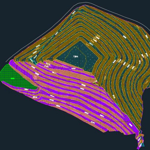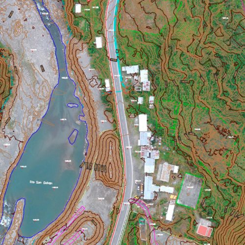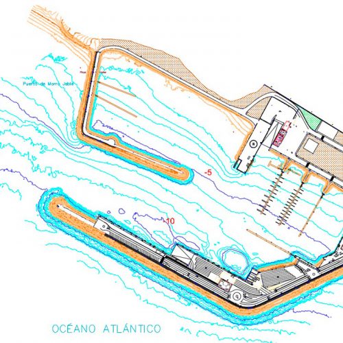

Comprehensive projects for the regeneration of town planning areas, environmental assessments, transportation, traffic and mobility studies… are projects to which GEODRON can provide effective data to enable the projects to be carried out with precision and success. With data taken using the unmanned craft (UAVs) and appropriately managing them through GIS (geographic information system) programmes, it will be possible to provide sustainable solutions to territorial problems.
“The fundamental reason for using a GIS is the management of spatial information.”