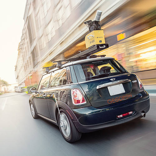
It is the clear commitment to a technology which offers an infinite number of applications and new uses in different areas, from the planning and management of public roads based on detailed knowledge of street furniture, property, lighting, pavements, green spaces, design mobility plans and accessibility studies for emergency and civil protection teams, optimised management of services of all these applications used for photographing and scanning in 360º a road from a vehicle obtaining the images and data necessary to convert millions of points into deliverable products which can be used in Engineering, Surveying, Urban Mapping, inventories…

