Topographic survey by aerial photogrammetry – CANTERA EL RÍO
Title
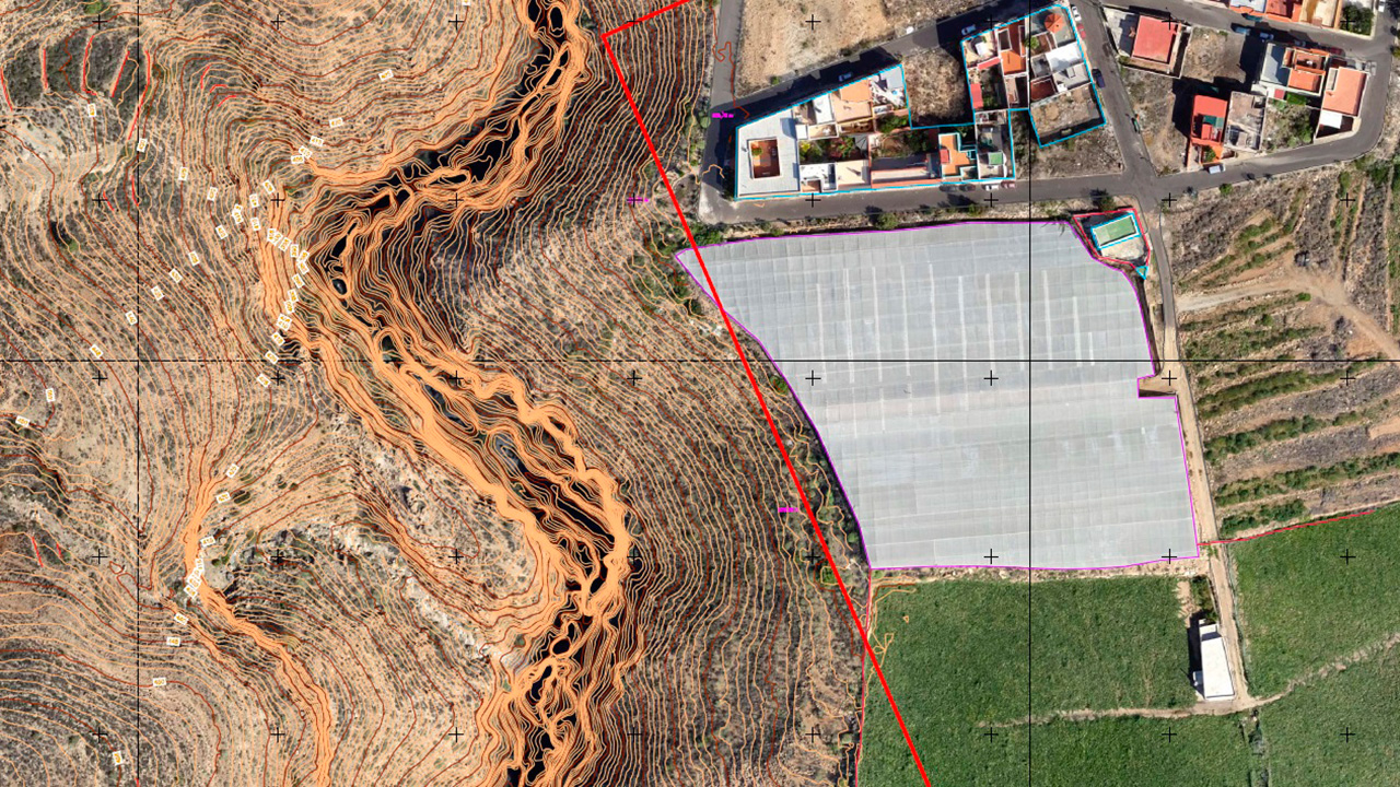
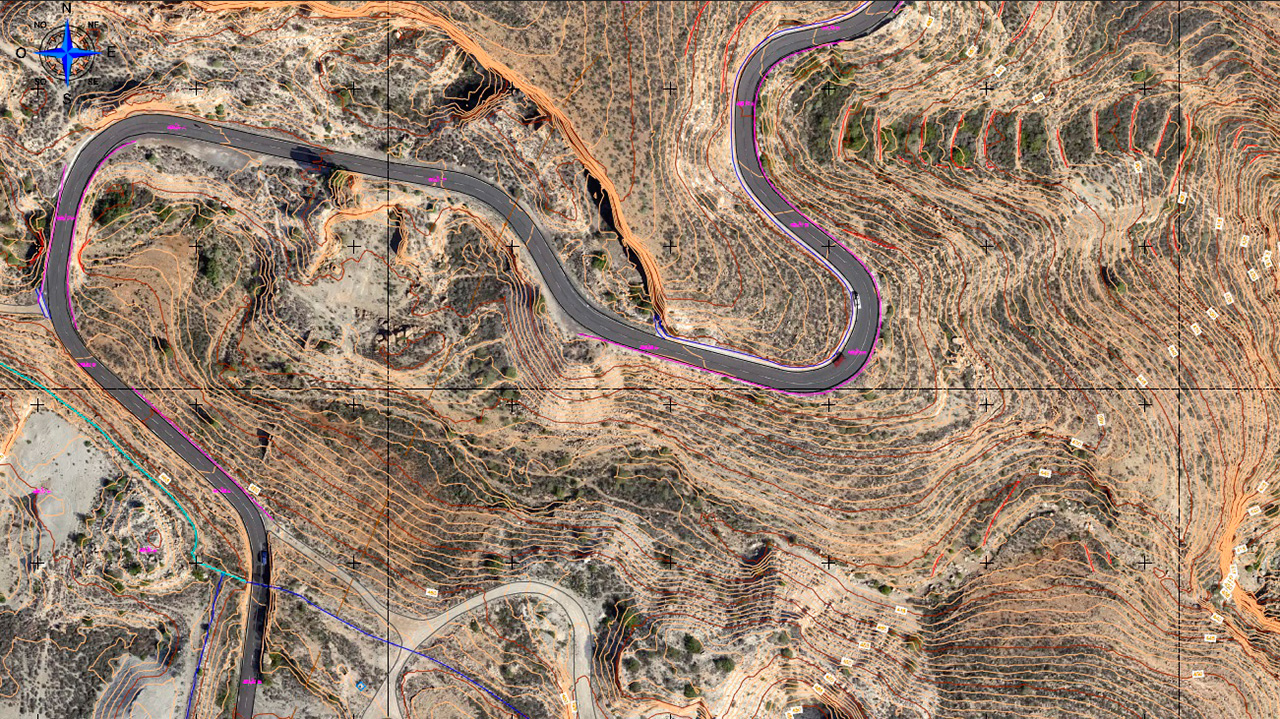
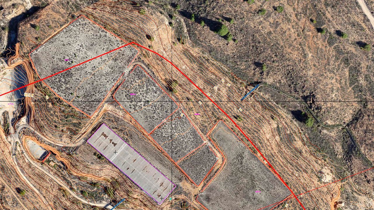
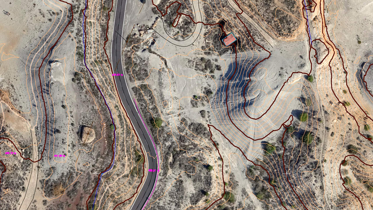
Cantera El Río. Topographic survey by aerial photogrammetry. Arico, Tenerife
Company
TENO Ingenieros Consultores, S.L.
Category
Mining and QuarriesAbout This Project
Photogrammetric survey of 17 hectares for topographic survey on a 1/1000 scale with 5 cm/pixel orthophotos and Digital Terrain Model of a 70 hectare rural plot of land located in the Municipality of Arico, Tenerife.