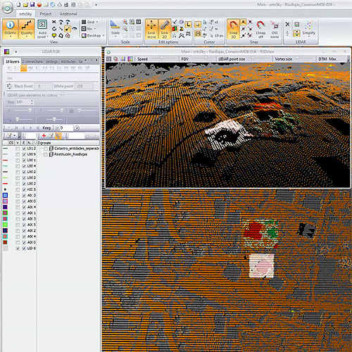
Photogrammetry software, point cloud treatment, restitution, G.I.S. (geographic information system).
Geodron uses professional specialised software for the production and processing of geographic information, using the most advanced 3D stereoscopic processing and viewing technologies on the market which offer the following advantages:
- Integrates in a single tool functionalities which were traditionally carried out using different analysis or production software in the same project (LiDAR – stereo return, debugging and classification, altimetric product generation, 2D digitalisation, geoprocesses, raster image analysis, execution of free software command line utilities, export to different formats, complete management of photogrammetric flights, including aerial triangulation, 3D point cloud generation by image correlation, orthophotography, etc.
- Integrated management of all data sources in a single system (LiDAR, stereoscopic pairs, MDE, orthophotography, WMS etc.)
- 3D capture of information on GIS data models, either by stereoscopy or by the capture of heights from LiDAR, supporting multiple formats and projection systems.
Applications: from cartographic generation and production, to quality control or integrated exploitation together with other multiple purpose systems, such as GIS, augmented reality solutions, emergency systems, coastal and flood-prone areas management, etc.
