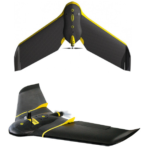
With GEODRON’s fixed wing and rotary wing unmanned aerial vehicles (UAV or commonly known as a drone), new standards in precision, robustness and performance mapping by capturing aerial images as accurate medium for obtaining data for topographic works and Geospatial information are set.
RTK Technology in Drones
Equipped with RTK (Real Time Kinematic), Geodron’s new UAVs can allocate more hectares per flight than any unmanned aerial vehicle in its weight class. Flying at a permissible height of 120 metres over the ground and a duration of over 1 hour of flight, the coverage of the acquired land is 220 has, with a GSD (ground sample distance) of 1cm/pixel, which corresponds to a precision in xyz of 3cm.

